| Dumaguete City Central Plaza, Beaches, Mtns, etc |
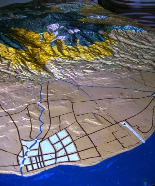
| this model shows Dumaguete's layout, with rivers, highways, the airport and the mountains north is to the right, south to the left -- that high peak is NW of the city |
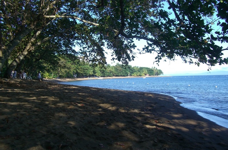
| shady beach, typical of the dozens of them south of the city |
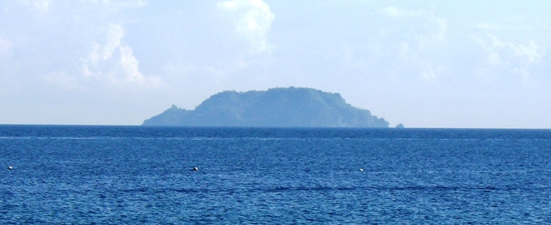
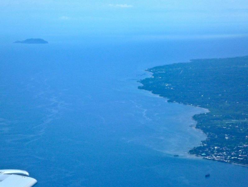
| Apo Island, a mecca of divers & snorkelers, lies close off-shore from the SE coast |
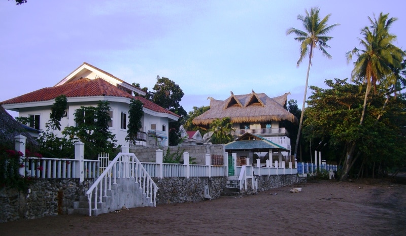
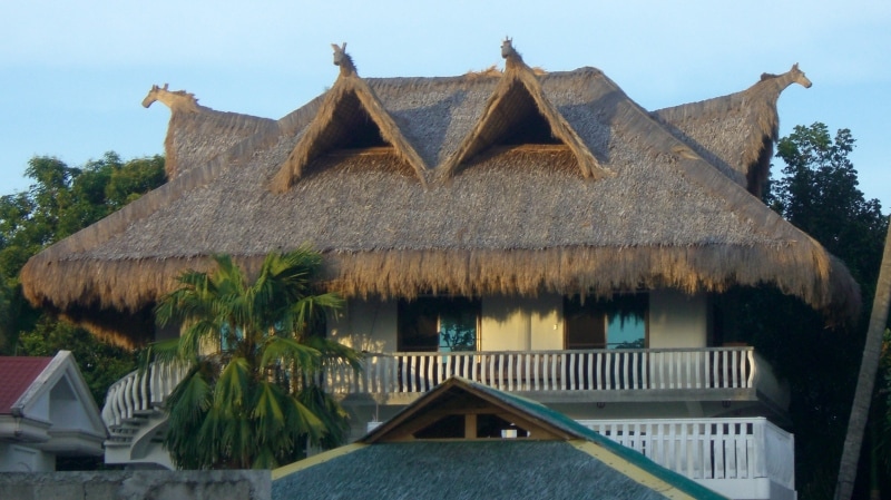
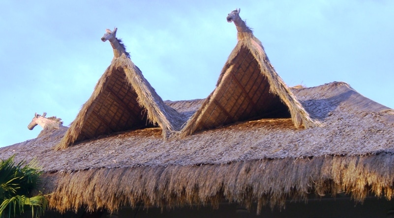
| this beachside mansion owned by a european retiree sports a great native horse-roof |
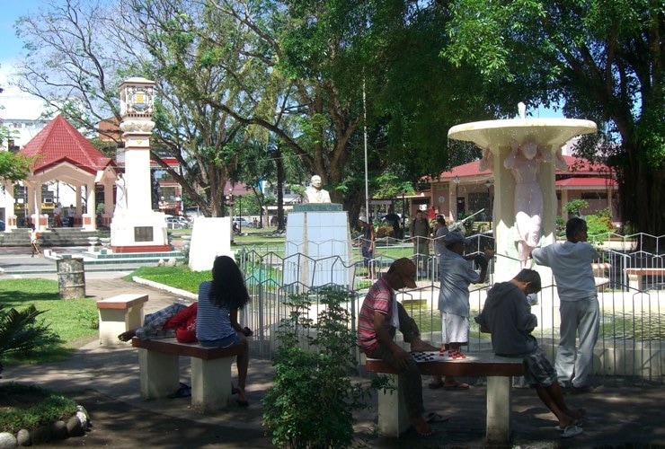
| Central Rizal Plaza, in front of the Cathedral |
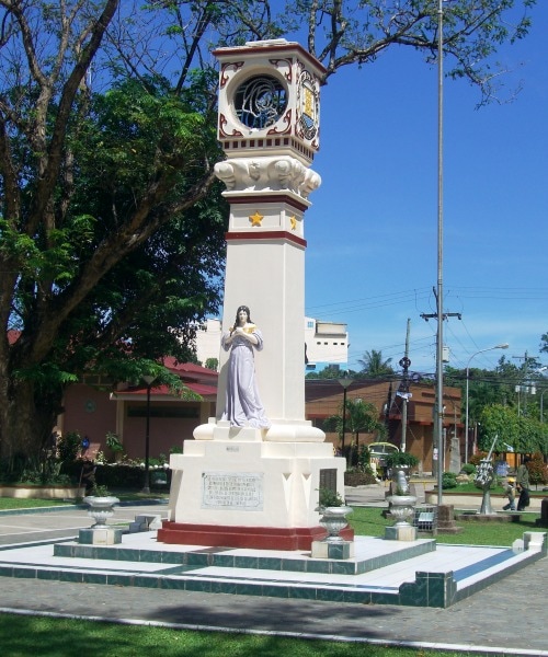
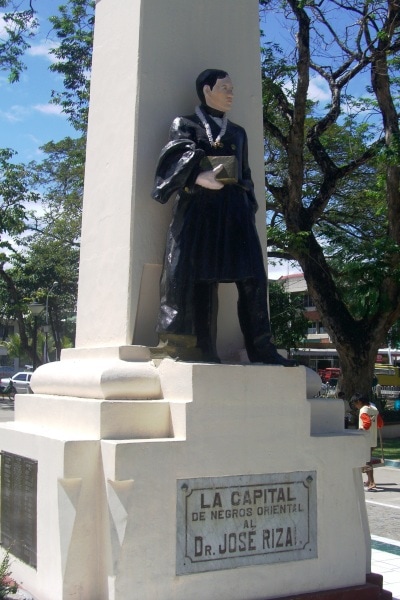
| The Provincial Capital Pillar, and its statue of national hero Dr. Jose Rizal |
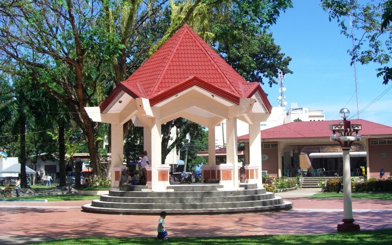
| the Gazebo, where many public events are held |
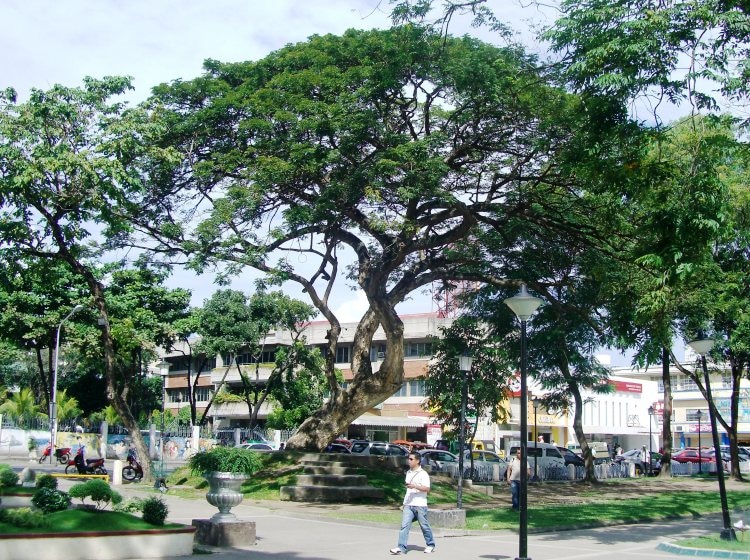
| Grand ancient tree in the Central Plaza right across from the Cathedral; local folklore holds that it hosts an auspicious guardian-spirit. |
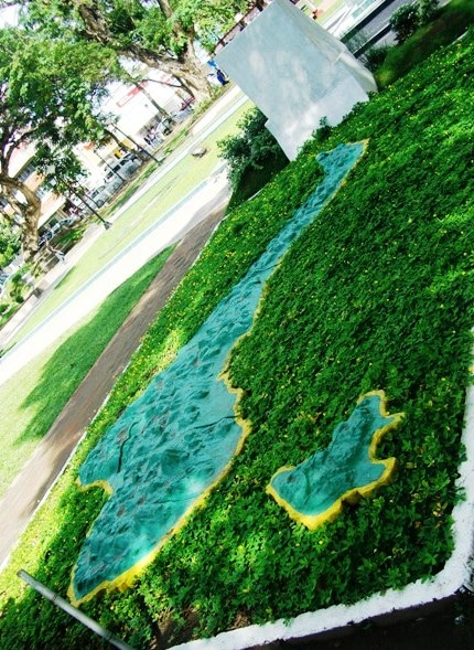
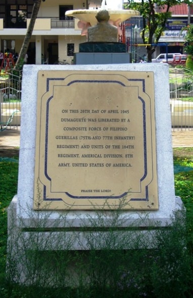
| WW-II Liberation monument, and a relief-map of Negros & Siquijor Islands |
| our house ----> x |
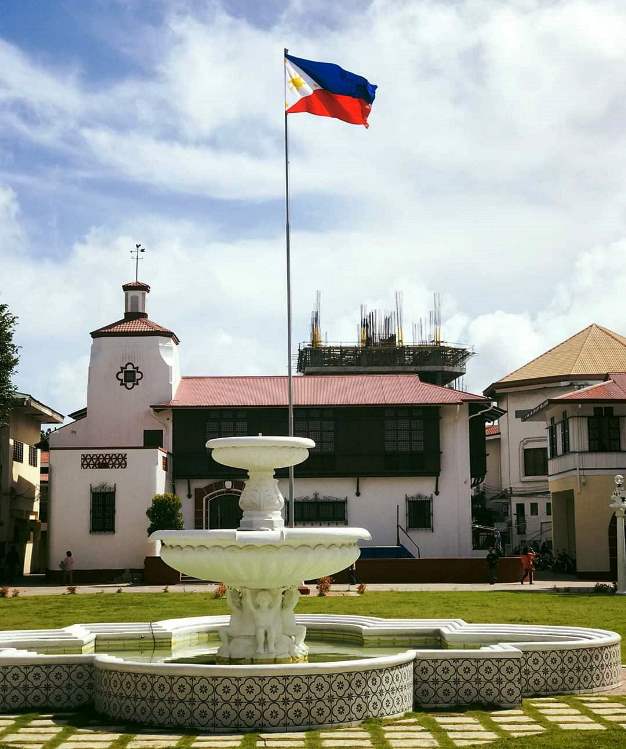
| Old City Hall, east of Rizal Park |
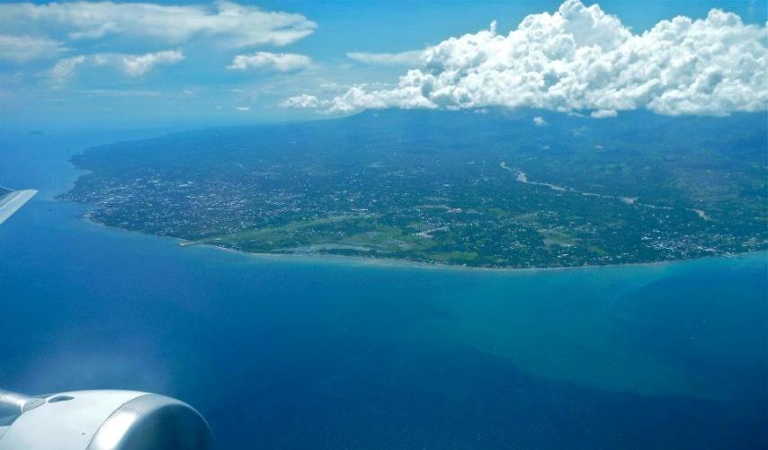
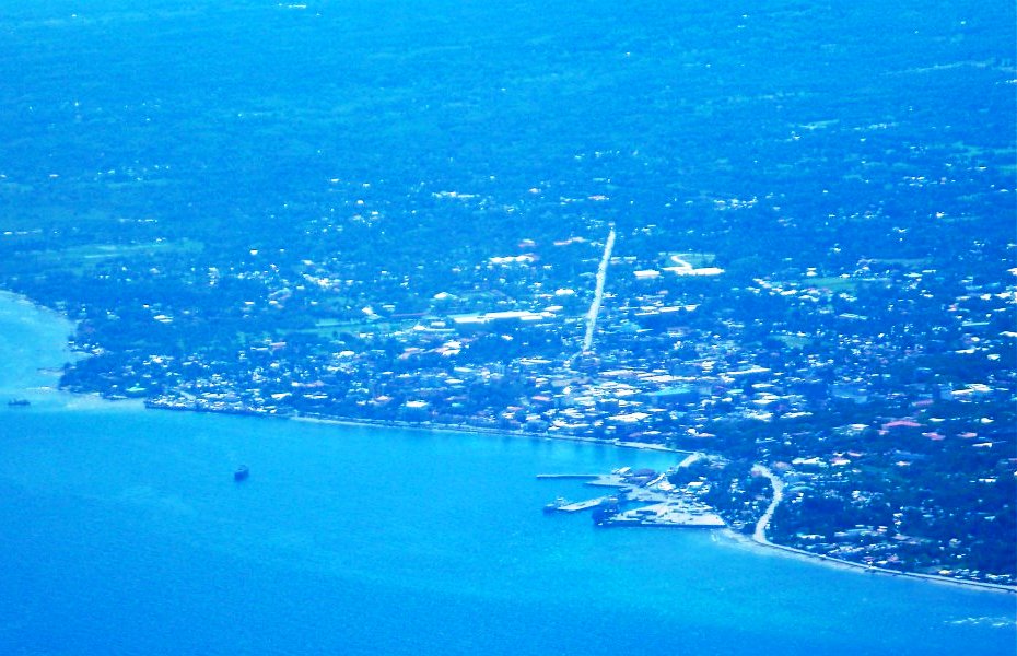
| Dumaguete from the air, February 2012 below: with Apo Island in the distance |
| Silliman Hall, of our historic high-class university -- right near the port-docks |
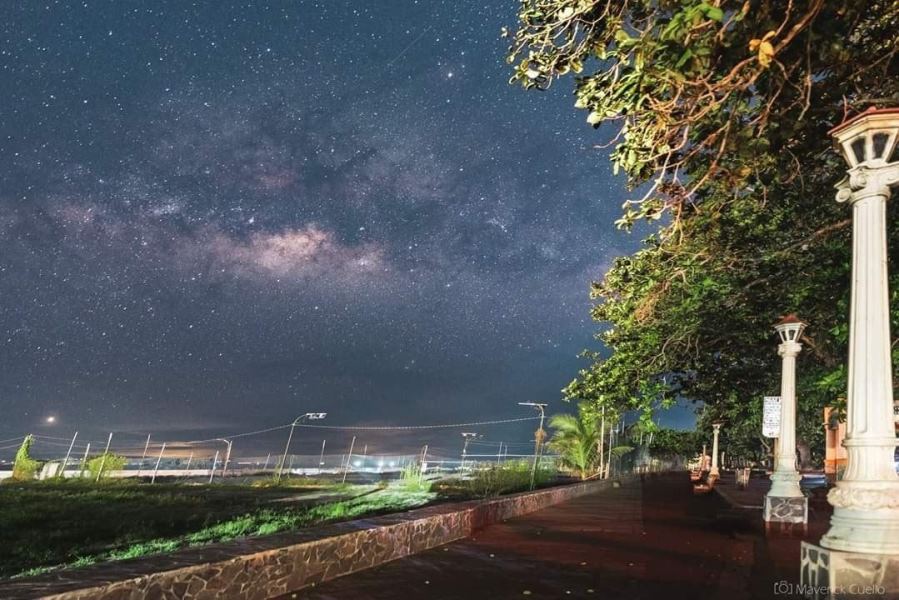
| Stars from the Boulevard Boardwalk, on a Dumaguete Night |
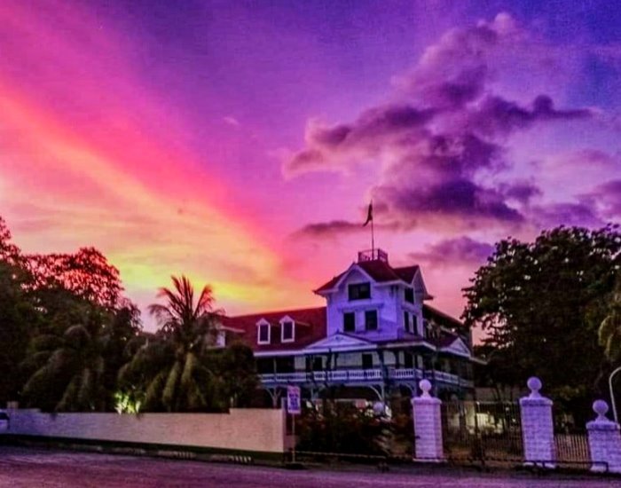
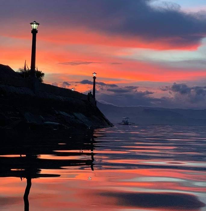
| Dumaguete Coast Sunset |
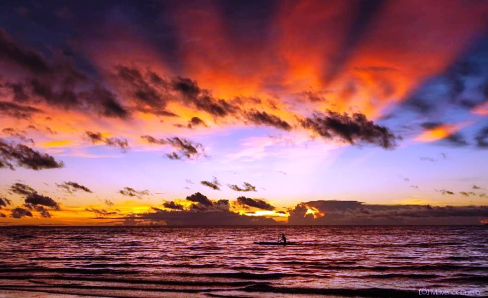
| Dumaguete Sunrise |